Northwest Winds in North Georgia: Difference between revisions
From WindsportAtlanta.com: Wiki
| Line 12: | Line 12: | ||
=== Local Effects === | === Local Effects === | ||
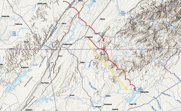
[[File:Nw-ga-tn-al-mtns-topo-wave.jpg|600px|Topo map of eastern TN and NW GA suggesting gravity waves from various topographical features. Yellow line is simple NW wind direction. Next red line above is suggestion of effects of mountains to NW of Lake Lanier. Top red line includes features from Cumberland Plateau.]] | [[File:Nw-ga-tn-al-mtns-topo-wave.jpg|600px|Topo map of eastern TN and NW GA suggesting mountain/gravity waves from various topographical features. Yellow line is simple NW wind direction. Next red line above is suggestion of effects of mountains to NW of Lake Lanier. Top red line includes features from Cumberland Plateau.]] | ||
=== More reading === | === More reading === | ||
Revision as of 11:56, 18 November 2020
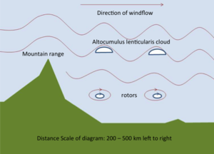
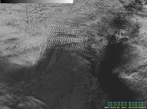
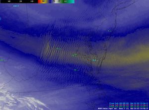
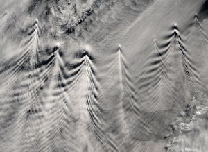
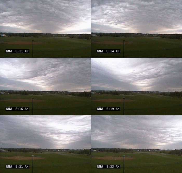
Mountain/Lee Waves
